


FruitFlyNet-ii: An interdisciplinary integrated system at farmers' service
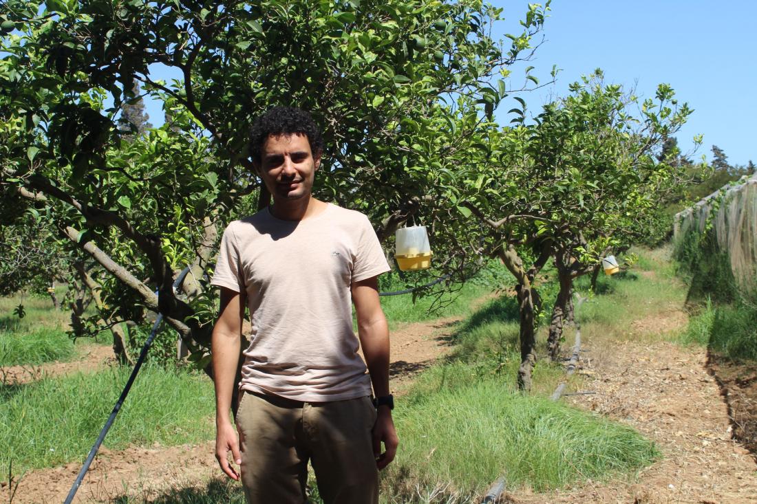
Ahmed Moussa is an engineer, selected by the Regional Research Centre on Horticulture and Organic Agriculture (CRRHAB) at Chott-Mariem, Sousse, Tunisia, to work on Fruitflynet-ii project. In the following interview, he explains how Information Technology tools and applications developed in the context of the project can help farmers to take on time the right decisions regarding spraying their orchards.
- Can you tell us about your background?
Ahmed MOUSSA : I graduated as a software engineer in 2016 from Ecole Nationale des Sciences de l'Informatique (National School of informatic Sciences) in Tunisia, with a major in Artificial intelligence (AI).
My first experience was in web development where I also had the chance to start experimenting with Machine Learning. Then I worked as a data scientist in another startup. Among the projects, I worked on Data Analytics for Sustainable Herding (DASH) which is a project to decipher complex interactions between climate change, human mobility and violent conflicts between herders and farmers in the Sahel region. This was a great opportunity to develop my GIS skills and pull insights from satellite images.
- What about the FruiFlyNet-ii project ?
A.M : I am very excited about the FruitFlyNet-ii project: working in the domains of environment and agriculture was one of my goals. Moreover, this project involves many interesting topics such as Artificial Intelligence, Internet of Things, Location Aware System, etc. I believe in interdisciplinary collaboration and the prospect of using technology for sustainable and smart agriculture.
- Tell us more about thedigitization!
As you know, CRHHAB is working on the peach orchards based at Mabrouka company with an area of 18 hectares. In this case, the use of digitization will be very helpful. The digitized maps will provide the experimental site borders, the tree positions, the cultivars’ distribution, the land uses, the protected areas, the sensors available, and the location of the traps. This geodatabase will be developed further to operate the Location Aware System services. We are collecting field data relating to the crop, pesticide use, species and varieties, protected zones, fruit repining period, etc. We have collected data regarding the experimental site, orchard and peach-trees digitization using satellite imagery, GPS and Qgis software.
- How things are going at the moment?
We weekly capture trap photos and collect images to analyze the distribution of the MedFly. First, we want to automate the counting of Ceratitis Capitata using AI and also combine this data with other factors such as weather, pesticide use, etc. to create new risk maps. This step will allow the farmer to take an informed decision on how, where and when to spray.
- How will FruitFlyNet-ii assist farmers in the control of Ceratitis Capitata?
What farmers currently do to control Ceratitis Capitata is either spray pesticides based on a calendar basis without considering the Medfly distribution in the field, or use methods based on traditional traps. The first approach leads usually to over spraying which means more costs, less healthy fruits and negative effects on the environment. While the use of traditional traps requires a lot of human effort to collect data which also lacks accuracy. The new solution that the project aims to develop is sort of a Location Aware System based on electronic traps which will collect data about the distribution of the Medfly in an automated and accurate manner. It offers a whole package of services which will allow farmers to take more informed and timely decisions. The result is less effort, less pesticide and more of healthy and delicious fruits!